We use cookies

We use cookies to enhance your experience, personalize content and analyze traffic. Accept all or customize your preferences. Privacy Policy and Cookie Policy.

    Madrid driving route

    Sierra de Guadarrama loop: Navacerrada, Cotos and Morcuera

    Three mountain passes in one day from Madrid, through the Sierra de Guadarrama and the Lozoya valley. About 3 h 5 min at the wheel, with the highest point at 1,860 m.

    The Sierra de Guadarrama loop is a 165 km mountain drive from Madrid over three passes: the Puerto de Navacerrada on the M-601, the Puerto de Cotos on the M-604 and the Puerto de la Morcuera on the M-611. Between them you drop into the Lozoya valley at Rascafría and the monastery of El Paular. The loop takes about 3 h 5 min without stops and reaches 1,860 m at Navacerrada. It is the best scenic drive from Madrid for a single day, with forest, high meadows and open mountain views close to the city.

    The drive, stage by stage

    1. Madrid to Navacerrada

      You leave Madrid north-west on the A-6 and turn off towards the mountains. The suburbs give way to open country and the ridge of the Guadarrama grows ahead of you. At the village of Navacerrada the M-601 begins its climb towards the pass.

    2. Over the Puerto de Navacerrada and Cotos

      The M-601 climbs through the forest to the Puerto de Navacerrada, on the border between Madrid and Segovia. From the pass the M-604 runs along the mountainside to the Puerto de Cotos, the start of several trails into the Sierra de Guadarrama National Park, with an information centre.

    3. Down into the Lozoya valley

      From Cotos the M-604 descends in long bends into the Lozoya valley towards Rascafría. The landscape opens out into meadows and woods. Stop at the monastery of El Paular, just before the village, for a break at the halfway point of the loop.

    4. Over the Morcuera and back to Madrid

      From the valley the M-611 climbs again to the Puerto de la Morcuera, a wilder and quieter pass with wide views over the range. The road then descends to Miraflores de la Sierra, and from there the route takes you back across the plain to Madrid.

    Route map

    1
    2
    3
    4
    5
    6
    Leaflet Esri | Route © OpenStreetMap

    Click or tap the map to zoom with the scroll wheel

    Stops in order

    1. Madrid
    2. Puerto de Navacerrada
    3. Puerto de Cotos
    4. Monasterio de El Paular
    5. Puerto de la Morcuera
    6. Madrid
    Open in Google Maps

    Places worth stopping

    • Puerto de Navacerrada

      The highest point of the loop, on the M-601 at the border between Madrid and Segovia. Expect cold air here even in spring, and a long view over the range from the top.

    • Puerto de Cotos

      The pass on the M-604 at 1,830 metres, where trails start into the Sierra de Guadarrama National Park and an information centre explains the park. A short walk here gives you the mountain at its quietest.

    • Monastery of El Paular

      The monastery of Santa María de El Paular in the Lozoya valley near Rascafría. It sits among meadows below the mountains and is the natural halfway stop on the loop.

    • Puerto de la Morcuera

      The pass on the M-611 at 1,796 metres, between the Lozoya valley and Miraflores de la Sierra. Open and quiet, with long views over the range and the plain towards Madrid.

    When to drive the Guadarrama passes

    Late spring to autumn is the best time: the roads are clear, the forest is green and the passes are cool when Madrid is hot. Weekdays are quieter than weekends, when walkers and cyclists head for the mountains. Start early in summer to enjoy the passes before the midday heat and traffic.

    In winter the passes can be affected by snow and ice. The Comunidad de Madrid runs a winter road campaign and publishes a daily mountain pass report, and asks drivers to follow DGT advice on vehicle equipment. We check it before every winter trip and adjust the route if a pass is affected.

    • Best months: May to October
    • Highest point: Puerto de Navacerrada at 1,860 metres
    • Winter: check the Comunidad de Madrid pass report
    The roads themselves

    The M-601, M-604 and M-611 are two-lane mountain roads with long climbs and many bends. The surfaces are generally good, but the roads are narrow in places and shared with cyclists, walkers parking at trailheads. Keep to the posted limits and overtake only where markings allow.

    The three passes sit between 1,796 and 1,860 metres, so temperatures can be much lower than in Madrid, even in spring. Fill up before you leave the A-6, so fuel or charge is never a concern in the mountains, and start the day with an electric or plug-in car fully charged.

    Which car suits the Guadarrama

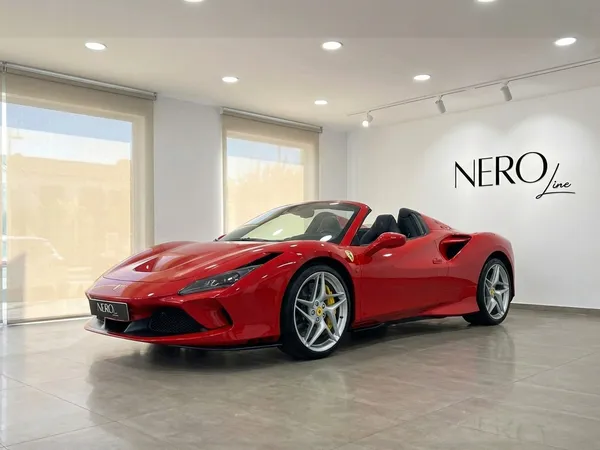
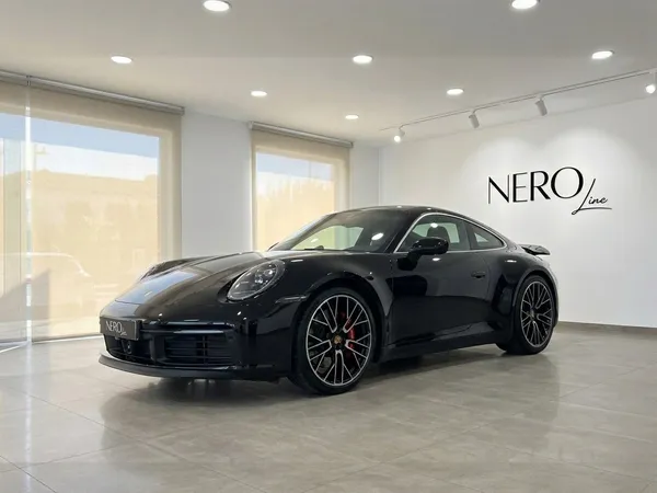
    A sports car or grand tourer is a natural fit for three passes in a day: responsive on the climbs, composed through the bends and comfortable on the A-6. A convertible is a pleasure from late spring to early autumn, with the scent of the forest around you on the descents.

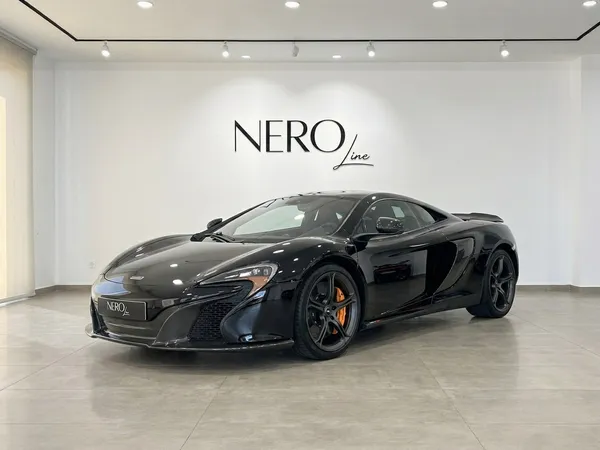
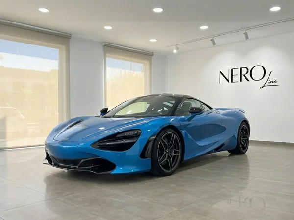
    A supercar is fine on these roads in dry weather, but take care on the narrow stretches and at trailhead car parks. From late autumn to spring an SUV is the most practical choice, when the mountain can be cold and conditions change during the day.

    Driving the Guadarrama as a group

    Mountain roads with cyclists need space, so our lead car keeps a legal, steady pace with clear gaps between the cars and passes cyclists only where it is safe for the whole group. The run sheet sets the passes of Navacerrada and Cotos and the monastery of El Paular as regroup points.

    Parking at the passes is busy at weekends, so the coordinator plans the stops for a weekday where possible and staggers arrivals when needed. Our support vehicle follows the last car with luggage and assistance, and in the cold months carries spare layers for the stops at altitude.

    Several cars

    Plan this as a group

    Driving this road with friends, clients or a team? We match the cars and deliver them to where the group starts, plan the day with a written run sheet and a named coordinator, and can add a lead car driving ahead and a support vehicle following behind.

    Plan this as a group

    FAQ

    Questions about this route