We use cookies

We use cookies to enhance your experience, personalize content and analyze traffic. Accept all or customize your preferences. Privacy Policy and Cookie Policy.

    Swiss Alps driving route

    The Gotthard pass, the Tremola and the Nufenen

    A loop from Andermatt over three passes, with the cobbled hairpins of the Tremola at its heart: 106 km and about 1 h 50 min of driving without stops.

    The Gotthard, Tremola and Nufenen loop starts in Andermatt, crosses the Gotthard pass and descends to Airolo on the Tremola, the historic cobbled road on the pass's southern side. From Airolo it climbs the Nufenen into Valais, follows the upper Rhône valley to Gletsch and returns over the Furka. The loop is 106 km with about 1 h 50 min of driving without stops, and its highest point is the Nufenen at 2,478 m. All three passes close in winter, and the cobbles of the Tremola call for a slow pace.

    The drive, stage by stage

    1. Andermatt to the Gotthard pass

      From Zurich, Andermatt is reached by motorway and the Schöllenen gorge road, or the car is delivered to where you stay in the village. The loop leaves Andermatt for Hospental in the Urseren valley, then climbs south to the Gotthard pass, the old route between Uri and Ticino.

    2. Down the Tremola to Airolo

      Below the summit you leave the main road for the Tremola: hairpins laid in cobblestones, which Switzerland Tourism describes as the longest architectural monument in the country. Drive it slowly. The cobbles are uneven, sound loud inside the car and give less grip than asphalt when wet. The Tremola rejoins the main pass road above Airolo.

    3. Airolo over the Nufenen to Ulrichen

      From Airolo the road heads west up the valley and climbs to the Nufenen pass, on the line between Ticino and Valais and the highest point of the loop. The descent on the Valais side brings you down into the upper Rhône valley at Ulrichen.

    4. Ulrichen over the Furka to Andermatt

      Follow the Rhône valley up to Gletsch and turn onto the Furka. The climb gives views of the glaciers above the valley, including the Rhône glacier. Over the summit you descend through Realp and the Urseren valley back to Andermatt.

    Route map

    1
    2
    3
    4
    5
    6
    7
    Leaflet Esri | Route © OpenStreetMap

    Click or tap the map to zoom with the scroll wheel

    Stops in order

    1. Andermatt
    2. Gotthard Pass
    3. Airolo
    4. Nufenen Pass
    5. Ulrichen
    6. Furka Pass
    7. Andermatt
    Open in Google Maps

    Places worth stopping

    • Gotthard pass summit

      The top of the old north to south route between Uri and Ticino. Stop here before the descent and look down on the Tremola hairpins below the pass.

    • The Tremola hairpins

      The cobbled hairpins on the southern side of the Gotthard. Stop only where there is space beside the road, and keep the cars in a line so the road stays clear for traffic coming up.

    • Airolo

      The village at the foot of the Tremola and the start of the Nufenen road. A sensible place for a coffee and a check of the cars after the cobbles.

    • Nufenen pass

      The highest point of the loop, on the line between Ticino and Valais, with open views over the surrounding peaks. Park only in marked areas and keep the road clear.

    • Furka pass

      The last summit of the day, with views of the Rhône glacier and a sign recalling the car chase filmed here for the 1964 film Goldfinger.

    When to drive it

    All three passes close in winter. The official pass status page lists the usual winter closure of the Gotthard as November to May, and of the Nufenen and the Furka as November to June. The actual dates change every year with the snow, so check the live status linked on this page before you go.

    In season, drive the Tremola early in the day, when there is less traffic on the hairpins and more room to stop. The loop is about 1 h 50 min of driving without stops, which leaves time for long breaks at each summit within a single day.
    The cobbled road and what it means for your car

    The Tremola is laid in cobblestones, with many tight hairpins, and the maximum weight allowed on it is 3.5 tonnes. Cobbles shake the car, are louder than asphalt and lose grip when wet. In a very low car, or one with stiff suspension, take it at walking pace, or stay on the main pass road, which also crosses the Gotthard.

    Outside built-up areas the general limit in Switzerland is 80 km/h and in built-up areas 50 km/h, unless signs show otherwise. Switzerland punishes serious speeding very severely, with licence withdrawal and, in the worst cases, prison and confiscation of the car. The motorway approach from Zurich needs a valid Swiss motorway vignette.

    Which car suits it

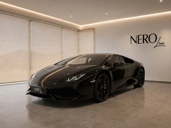
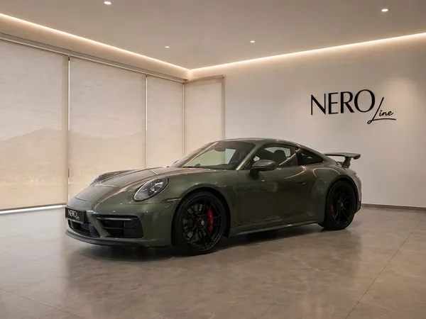
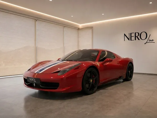
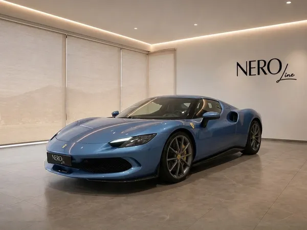
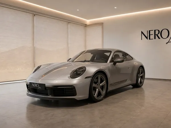
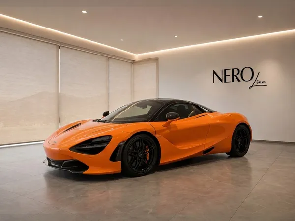
    A grand tourer or an SUV handles the cobbles of the Tremola with the least fuss, and a convertible gives you the sound and the views on the Nufenen and the Furka. A supercar is at its best on the asphalt passes; on the Tremola, take it slowly.

    If you want the loop in a very low car, tell us when you plan the trip. We can suggest the main Gotthard road for that car and keep the Tremola for the others in the group. The group can meet again in Airolo, at the foot of the Tremola.

    Driving it as a group

    On the Tremola a group should keep generous gaps, because cars slow down unevenly on the cobbles. Regroup at the Gotthard summit before the descent and again in Airolo, rather than stopping on the hairpins. Keep the hazard lights off unless you have actually stopped, and let traffic coming up the hairpins through.

    With a Nero Line lead car, a guide drives ahead and sets a slow, legal pace on the cobbles and a steady one on the passes, and calls the turn onto the Tremola. A support vehicle following the group carries luggage and stays with any car that needs help. Both are options you choose.

    Several cars

    Plan this as a group

    Driving this road with friends, clients or a team? We match the cars and deliver them to where the group starts, plan the day with a written run sheet and a named coordinator, and can add a lead car driving ahead and a support vehicle following behind.

    Plan this as a group

    FAQ

    Questions about this route